Hannah Cotterell, community manager at the savvy navvy boating app, considers the key things to look for in a boat navigation app.
Marine navigation apps are a big topic with modern and traditional boaters alike. Some hate them, some love them and although we would always say it is important to fully understand the essential techniques of traditional navigation, there is no denying that technical innovations are helping keep people safe by providing a cross-check to traditional navigation, and in turn, enabling more people to enjoy time out on the water.
So what should you look for when scrolling through the endless options available? Here we discuss a few essential things to consider.


Chart Data: the most important topic to start with is to look up your app’s information on where they source the chart data. Ensure they use official sources, such as hydrographic offices, so you know you are working with the most up-to-date and reliable information.
User-Friendly: If you think boating apps are complicated to use then think again. Modern boating apps are increasingly being developed with the end-user in mind. So when selecting an app make sure you are happy with how easy it is to use, how it looks and whether or not it is easy to navigate your way through all the options without getting lost and giving up. Remember these apps are supposed to make your life easier, not harder.
Flexibility: Look for the option to change your screen interface depending on what you would like to do. For example, it is always great to have the option to view your charts in satellite mode, to take a closer look around harbours, marinas and bays. It is also nice to have the option of ‘chart mode’ where the app focuses on key nautical chart information rather than land-based details. In addition, it is important to have the option of ‘night mode’ so you can preserve your night vision when underway after dark.
Consider getting an app that lets you use it on any boat. One weekend you might be on a motorboat (and more concerned about ETAs and fuel consumption) and the next on a sail boat searching for the best wind. Apps like savvy navvy that let you adjust your boat settings between motorboats, sailboats and catamarans, enable you to create passage plans that are designed for the type of vessel you are using that day.
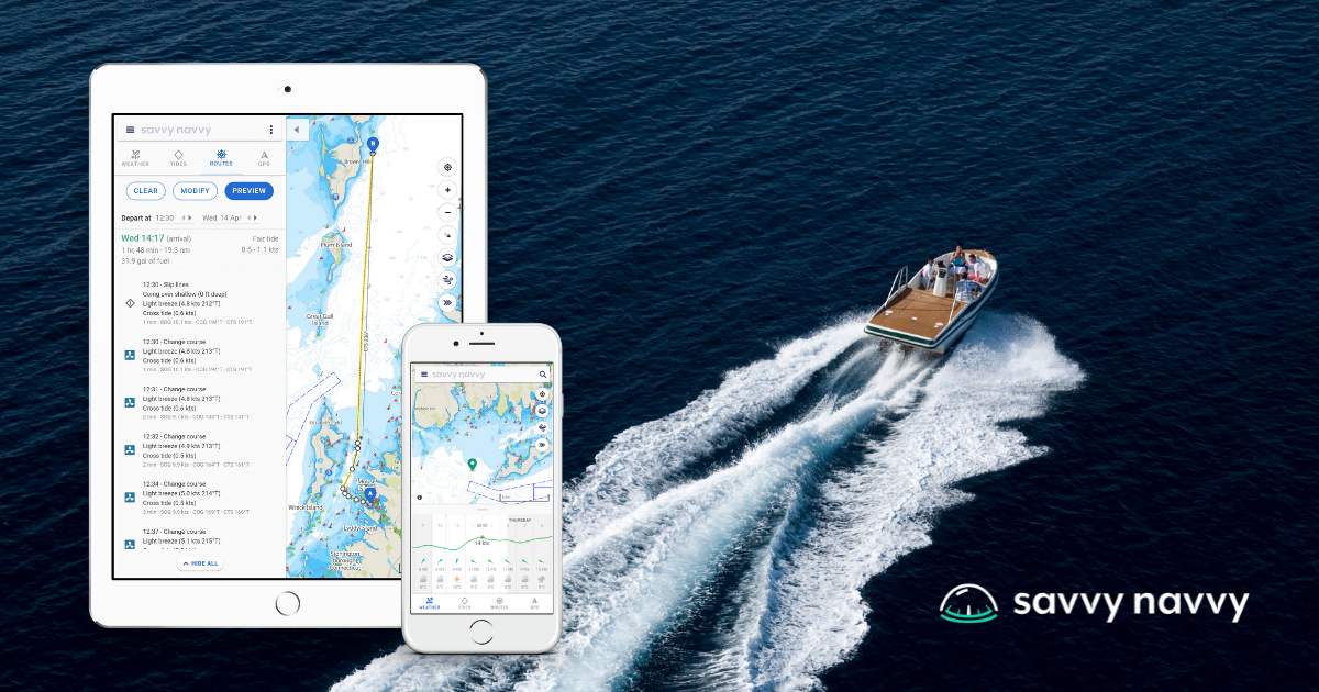
Automatic Route Planning: Having an app that can cross-check your traditional passage plan is great for peace of mind. By using savvy routing™, for example, you can calculate a highly detailed route in seconds on any device, compare it with your traditional navigation plans and then export it for use with your chartplotter.
Route Sharing: It is always nice to share your route either with other people sailing in another boat on a similar route or with your friends and family, so they know where you are going and can ensure you arrive safely.
GPS Positioning: Being able to see your live position and check your Course Over Ground and Speed Over Ground is really handy if you do not need a full passage plan. In addition, visual distance markers around your location can be really useful to calculate the distance between your boat and key features around you.
Offline: Ensure your app is able to work offline by downloading charts and weather packs so you can continue to look at essential information or plan routes even when out of the reach of phone or WiFi signal.
Distance Measurement: If you are not looking to plan an elaborate route and would just like to do a quick ETA in your head, make sure your app provides a distance ruler for quick references.
Tides and Weather: It used to be the case that boaters used four or more apps to plan a trip at sea, which can be cumbersome. Now it is possible to get essential marine information in one place including tide, weather, routing and charts.